Interactive Caribbean Map WordPress Plugin

  • No coding required
  • Visual editor with a live preview
  • SVG map on your own site: no iframe, no third-party map API

Live demo · hover a country, click for details

This preview includes premium features.

Legend and zoom are optional; both are on in this preview.

Bring the Caribbean together on one clickable map. Cuba, Jamaica, Puerto Rico, Trinidad and Tobago, and 23 more islands and island groups each get their own link, color, and tooltip.

Get the plugin

Free version

Caribbean Map - Free

Free

A complete 27-country map, not a timed trial.

  • Every country, with the visual editor
  • Colors, links, and one-line tooltips for every country
  • Gutenberg block, Elementor widget, and [wpmp-caribbean-map]
  • Import/export as JSON or a CSV spreadsheet of all countries
Download the free version

Version 3.1.4. A small “Interactive map by WP Map Plugins” link stays under the map.
Premium

Caribbean Map - Premium

$29.95Regular price $39.95Limited time

One-time payment. No subscription and no license key.

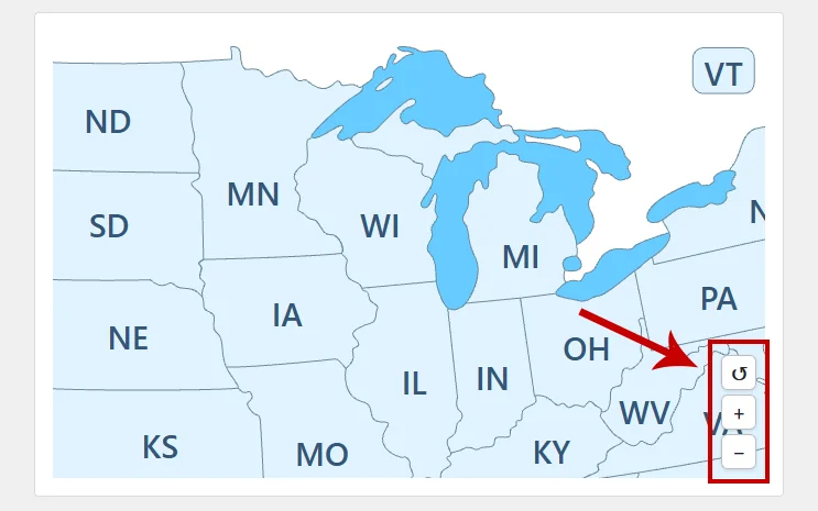
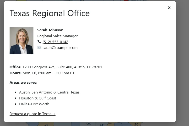
  • Zoom and pan, formatted tooltips, and modal window / popups
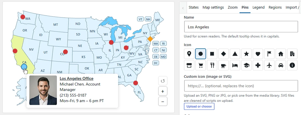
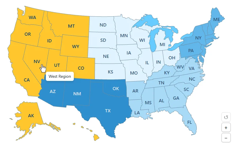
  • Pins, regions, an optional legend, and several maps
  • Future updates of the premium plugin are included
  • Replaces the free copy and keeps your map settings

Secure checkout by FastSpring.

Version
3.1.4
Requires
WordPress 6.3 and PHP 7.4
Tested up to
WordPress 7.1.4
Tested on
✓✓
Shortcodes
[wpmp-caribbean-map] More maps (premium)
Areas
27 countries

What is included

A complete free map, and a premium upgrade when you need more

The free plugin is a complete map of 27 countries, not a timed trial. You get the visual editor, colors and links for every country, one-line tooltips, the Gutenberg block, the Elementor widget, the [wpmp-caribbean-map] shortcode, and import/export as JSON or as a CSV spreadsheet of all countries.

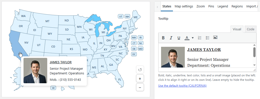
Caribbean Map - Premium adds zoom and pan, formatted tooltips (bold, colors, lists, and a small image), a modal window / popup with images, links, and video, pins, regions, an optional legend, several maps on one site or page, custom labels and fonts, and a CSS class per country.

Free vs premium

Compare the free version and premium

Select the camera icon next to a premium feature to see a screenshot.

FeatureFreePremium
All areas clickableYesYes
Visual editor and live previewYesYes
Colors, hover colors, label colors, linksYesYes
Tooltips One line of plain textFormatted: bold, colors, lists, and a small image
Gutenberg block, Elementor widget, shortcodeYesYes, plus extra shortcodes for more maps
JSON import/export of all settingsYesYes
CSV import/export of areasYesYes
Zoom and pan NoYes, optional
Modal window / popups with images, links, and video NoYes
Pins NoYes
Regions NoGroup areas so they highlight together and share a color, tooltip, and click
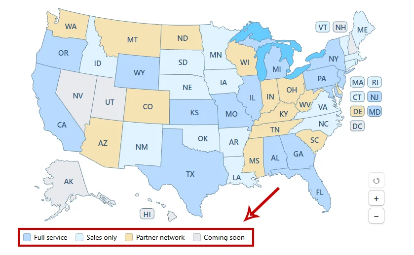
Legend NoOptional legend under the map that explains what the colors mean
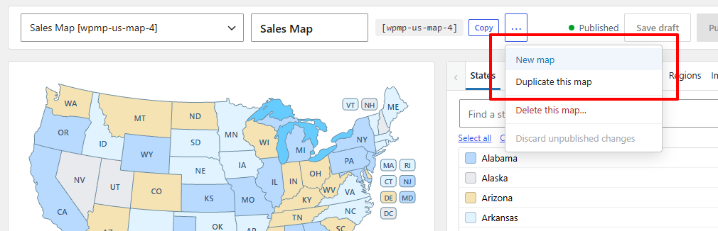
Several maps on one site or page NoYes
Custom labels and fontsNoChange the text on an area, or leave it empty to hide that label, and the label font, size, and weight
CSS classes per areaNoYes
Credit linkAlways on for the free downloadOff by default

Premium replaces the free plugin: it replaces the free copy and keeps your map settings. There is no license key.

Common uses

What people build with the Caribbean map

  • Island-by-island travel guides
  • Cruise and tour destination pages
  • Regional office and partner directories
  • Shipping and logistics coverage
  • Caribbean property listings

Set it up

From download to published map in three steps

  1. Install the plugin

    Upload the zip in WordPress and activate it. Open Caribbean Map in the admin menu.

  2. Edit and publish

    Pick countries from the list or search, set colors, links, and tooltips, then click Publish.

  3. Place the map

    Add the Caribbean Map block, the Elementor widget, or the [wpmp-caribbean-map] shortcode.

Need more detail? Read the getting started guide in the docs.

The map itself

27 clickable countries

The Caribbean pack contains 27 areas, which it calls countries. They include independent countries and territories, such as Puerto Rico, Guadeloupe, Aruba, and the British and U.S. Virgin Islands. Labels use three-letter codes, such as CUB, JAM, and PRI.

Need another map? Browse all maps.

FAQ

Caribbean map questions

Which islands are included?

The supplied map has 27 areas, from the Bahamas and Cuba to Trinidad and Tobago, including territories such as Puerto Rico, Curaçao, Martinique, and the Cayman Islands.

Why are the labels three-letter codes?

The default labels are codes such as DOM and BRB, which fit the small islands; the full name appears in the tooltip. Premium custom labels let you change them.

Can I show several Caribbean maps?

Yes, in premium. Extra maps use shortcodes such as [wpmp-caribbean-map-2], each with its own settings.

Is there a credit link?

The free download shows a small credit link under the map. In premium the link is off unless you turn it on.

What happens when I upgrade?

Premium replaces the free copy and keeps your map settings. It is a one-time payment, not a subscription.

Start with the free Caribbean map today

Download the free version, or unlock premium features with a one-time payment.